METAR-TAF
Airports :
Batam
Alor Setar
Ambon
Angeles
Balikpapan
Bangkok
Bangkok-Suvarnabhumi
Banjarmasin
Batam
Biak
Bintulu
Broome
Brunei
Buriram
Butterworth
Cam Ranh
Cần Thơ
Cebu
Christmas Island
Chumphon
Cocos
Da Nang
Darwin
Davao
Denpasar
Derby
Derby
Dumaguete
East Jakarta
General Santos
Gerbangkertosusila
Gove Peninsula
Groote Eylandt
Hat Yai
Ho Chi Minh City
Hua Hin
Huế
Ipoh
Jakarta
Jayapura
Johor Bahru
Katherine
Kerteh
Khon Kaen
Koror
Koror
Ko Samui
Kota Bharu
Kota Kinabalu
Krabi
Kuala Lumpur
Kuala Terengganu
Kuantan
Kuching
Kudat
Kununurra
Kupang
Labuan
Lake Argyle
Lampang
Langkawi
Laoag City
Loei
Mae Sot
Makassar
Manado
Manila
Mataram
Medan
Melaka
Mersing
Miri
Nakhon Phanom
Nakhon Ratchasima
Nakhon Si Thammarat
Narathiwat
Normanton
Padang
Pakxe
Palembang
Pattani
Pattaya-Rayong
Pekanbaru
Penang
Phetchabun
Phitsanulok
Phnom Penh
Phrae
Phuket
Phú Quốc
Pontianak
Puerto Princesa
Ranong
Roi Et
Sakon Nakhon
Sandakan
Sanya
Savannakhet
Sibu
Siem Reap
Singapore-Changi
Singapore-Paya Lebar
Singapore-Seletar
Sitiawan
Songkhla
Subang Jaya
Subic Bay
Sukhothai
Surat Thani
Tak
Tarakan
Tawau
Tennant Creek
Trang
Trat
Ubon Ratchathani
Udon Thani
Vientiane
Weipa
Yangon
Yap
Zamboanga
Indonesia
Australia
Bali
Bangladesh
Bhutan
Cambodia
China, East
India
Indian Ocean
Indian Ocean islands
India, Northeast
Japan, Ryukyu Islands
Java
Laos
Malaysia
Melanesia
Micronesia
Myanmar
Nepal
Northern Territory
Philippines
Singapore
Sri Lanka
Taiwan
Thailand
Vietnam
Hang Nadim Airport Batam, Indonesia
latitude: 01-07-15N, longitude: 104-07-07E, elevation: 125 ft
Current weather observation The report was made 19 minutes ago, at 10:30 UTC
Wind 7 mph from the Southeast
Temperature 84 °F
Humidity 79 %
Pressure 29.85 in. Hg
Visibility: 19685 ft
Few clouds at a height of 1400 ft
METAR: WIDD 041030Z COR 14006KT 6000 FEW014 29/25 Q1011 NOSIG RMK FU IN APCH
Time: 17:49 (10:49 UTC) TAF: missing
Weather observations and forecasts of more than 4000 airports (METAR and TAF reports).
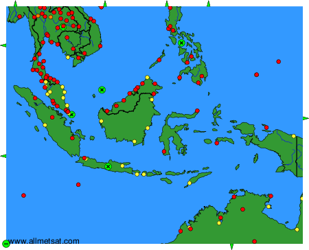
To change the map : click on the green buttons with a black cross to zoom in, on the green button with a dash to zoom out, or on the green arrows for adjacent maps.