METAR-TAF
Airports :
Diyarbakır Airport
Diyarbakır, Turkey
latitude: 37-53N, longitude: 040-11E, elevation: 686 m
Current weather observation
The report was made 40 minutes ago, at 04:20 UTC
Wind 3 kt from the West/Southwest
Temperature 2°C
Humidity 75%
Pressure 1018 hPa
Visibility 10 km or more
Few clouds at a height of 4000 ft
Scattered clouds at a height of 10000 ft
Scattered clouds at a height of 10000 ft
METAR: LTCC 130420Z 24003KT 9999 FEW040 SCT100 02/M02 Q1018 NOSIG RMK RWY16 VRB02KT 1CU040 4AC100
Time: 08:00 (05:00 UTC)
Forecast
The report was made 6 hours and 20 minutes ago, at 22:40 UTC
Forecast valid from 13 at 00 UTC to 13 at 24 UTC
Wind 2 kt from variable directions
Visibility 10 km or more
Few clouds at a height of 4000 ft
Broken clouds at a height of 10000 ft
Broken clouds at a height of 10000 ft
TAF: LTCC 122240Z 1300/1324 VRB02KT 9999 FEW040 BKN100
Weather observations and forecasts of more than 4000 airports (METAR and TAF reports).
The available stations are represented by yellow and red dots on the map.
Hover mouse over dot to see the name of the station.
Then click to see weather observations and forecasts.
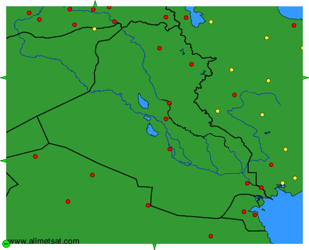
To change the map : click on the green buttons with a black cross to zoom in, on the green button with a dash to zoom out, or on the green arrows for adjacent maps.