METAR-TAF
Airports :
Batman Airport
Batman, Turkey
latitude: 37-52N, longitude: 041-10E, elevation: 1771 ft
Current weather observation
The report was made 31 minutes ago, at 14:50 UTC
Wind 12 mph from the Southwest
Temperature 95°F
Humidity 20%
Pressure 29.71 in. Hg
Visibility 6.2 miles or more
Few clouds at a height of 4000 ft
Scattered clouds at a height of 10000 ft
Scattered clouds at a height of 10000 ft
METAR: LTCJ 111450Z 22010KT 9999 FEW040 SCT100 35/09 Q1006 NOSIG RMK RWY20 26009KT 220V280 1CU040 3AC100
Time: 18:21 (15:21 UTC)
Forecast
The report was made 4 hours and 41 minutes ago, at 10:40 UTC
Forecast valid from 11 at 12 UTC to 12 at 12 UTC
Wind 14 mph from the South/Southwest
Visibility 6.2 miles or more
Few clouds at a height of 4000 ft
Scattered clouds at a height of 10000 ft
Scattered clouds at a height of 10000 ft
Becoming
from 11 at 16 UTC to 11 at 18 UTC
from 11 at 16 UTC to 11 at 18 UTC
Wind 2 mph from variable directions
TAF: LTCJ 111040Z 1112/1212 21012KT 9999 FEW040 SCT100 BECMG 1116/1118 VRB02KT CAVOK
Weather observations and forecasts of more than 4000 airports (METAR and TAF reports).
The available stations are represented by yellow and red dots on the map.
Hover mouse over dot to see the name of the station.
Then click to see weather observations and forecasts.
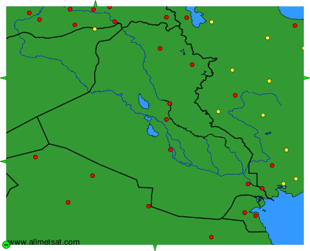
To change the map : click on the green buttons with a black cross to zoom in, on the green button with a dash to zoom out, or on the green arrows for adjacent maps.