METAR-TAF
Airports :
Şanlıurfa GAP Airport
Şanlıurfa, Turkey
latitude: 37-27N, longitude: 38-54E, elevation: 823 m
Current weather observation
The report was made 30 minutes ago, at 15:50 UTC
Wind 7 kt from the West
Temperature 37°C
Humidity 21%
Pressure 1005 hPa
Visibility 10 km or more
no clouds below 1500 m and no cumulonimbus
METAR: LTCS 301550Z 28007KT CAVOK 37/11 Q1005
Time: 19:20 (16:20 UTC)
Forecast
The report was made 5 hours and 40 minutes ago, at 10:40 UTC
Forecast valid from 30 at 12 UTC to 31 at 12 UTC
Wind 7 kt from the South
TAF: LTCS 301040Z 3012/3112 18007KT CAVOK
Weather observations and forecasts of more than 4000 airports (METAR and TAF reports).
The available stations are represented by yellow and red dots on the map.
Hover mouse over dot to see the name of the station.
Then click to see weather observations and forecasts.
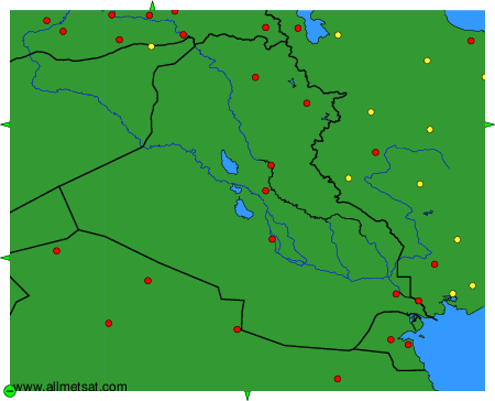
To change the map : click on the green buttons with a black cross to zoom in, on the green button with a dash to zoom out, or on the green arrows for adjacent maps.