METAR-TAF
Airports :
Kermanshah Airport
Kermanshah, Iran
latitude: 34-16N, longitude: 047-07E, elevation: 1320 m
Current weather observation
The report was made 33 minutes ago, at 05:30 UTC
Wind 16 kt from the East/Southeast
Temperature 32°C
Humidity 13%
Pressure 1014 hPa
Visibility 10 km or more
no clouds below 1500 m and no cumulonimbus
METAR: OICC 310530Z 11016KT CAVOK 32/M00 Q1014 A2995
Time: 10:33 (06:03 UTC)
Forecast
The report was made 8 minutes ago, at 05:55 UTC
Forecast valid from 31 at 06 UTC to 31 at 15 UTC
Wind 10 kt from the East/Southeast
Visibility 10 km or more
no clouds below 1500 m and no cumulonimbus
Temporary
from 31 at 06 UTC to 31 at 09 UTC
from 31 at 06 UTC to 31 at 09 UTC
Wind 10 kt from the Southeast with gusts up to 22 kt
TAF: OICC 310555Z 3106/3115 12010KT CAVOK TEMPO 3106/3109 14010G22KT
Weather observations and forecasts of more than 4000 airports (METAR and TAF reports).
The available stations are represented by yellow and red dots on the map.
Hover mouse over dot to see the name of the station.
Then click to see weather observations and forecasts.
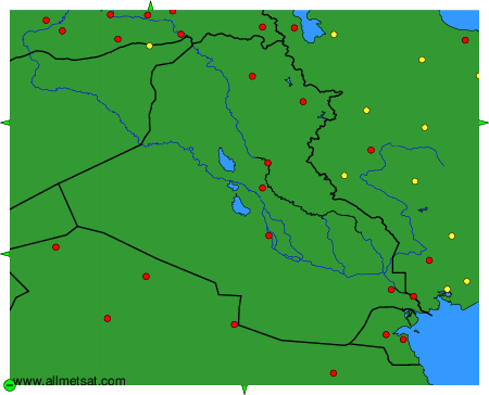
To change the map : click on the green buttons with a black cross to zoom in, on the green button with a dash to zoom out, or on the green arrows for adjacent maps.