METAR-TAF
Airports :
Ali Al Salem Air Base
Abadan
Adıyaman
Aghajari
Ahvaz
Ali Al Salem
Al Qamishli
Arar
Baghdad
Balad
Basra
Batman
Diyarbakır
Erbil
Hamedan
Ilam
Kermanshah
Khorramabad
Kuwait City
Mahshahr
Maragheh
Mardin
Masjed Soleyman
Najaf
Qaisumah
Qazvin
Rafha
Rasht
Sakakah
Sanandaj
Şanlıurfa
Siirt
Şırnak
Sulaymaniyah
Turaif
Urmia
Yüksekova
Zanjan
Iraq, Kuwait
Africa
Iran
Israel
Jordan
Lebanon
Palestine
Saudi Arabia
Syria
Turkey
Ali Al Salem Air Base, Kuwait latitude: 29-20-48N, longitude: 47-31-14E, elevation: 144 m
Current weather observation The report was made 15 hours and 28 minutes ago, at 01:55 UTC
Wind 8 kt from the Northwest
Temperature 32 °C
Humidity 18 %
Pressure 1002 hPa
Visibility 10 km or more
Clear sky
METAR: OKAS 270155Z AUTO 32008KT 9999 CLR 32/05 A2960 RMK AO2 SLP017 T03190054 $
Time: 20:23 (17:23 UTC) Forecast The report was made 1 hour and 23 minutes ago, at 16:00 UTC
Forecast valid from 27 at 16 UTC to 28 at 22 UTC
Wind 9 kt from the North/Northwest
Visibility 10 km or more
Clear sky
Becoming from 28 at 00 UTC to 28 at 01 UTC
Wind 10 kt from the Northwest with gusts up to 15 kt
Visibility 10 km or more
Clear sky
Becoming from 28 at 08 UTC to 28 at 09 UTC
Wind 15 kt from the Northwest with gusts up to 25 kt
Visibility 10 km or more
Clear sky
Becoming from 28 at 16 UTC to 28 at 17 UTC
Wind 9 kt from the West/Northwest
Visibility 10 km or more
Clear sky
TAF: OKAS 271600Z 2716/2822 34009KT 9999 SKC QNH2952INS BECMG 2800/2801 31010G15KT 9999 SKC QNH2955INS BECMG 2808/2809 32015G25KT 9999 SKC QNH2952INS BECMG 2816/2817 30009KT 9999 SKC QNH2958INS TX44/2811Z TN30/2802Z
Weather observations and forecasts of more than 4000 airports (METAR and TAF reports).
The available stations are represented by yellow and red dots on the map.
Hover mouse over dot to see the name of the station.
Then click to see weather observations and forecasts.
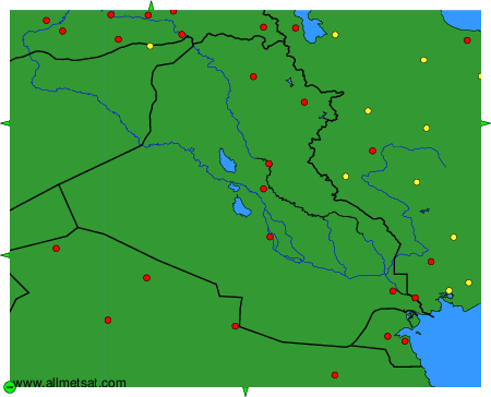
To change the map : click on the green buttons with a black cross to zoom in, on the green button with a dash to zoom out, or on the green arrows for adjacent maps.