METAR-TAF
Airports :
Belfast International Airport
Belfast, Northern Ireland
latitude: 54-39N, longitude: 006-13W, elevation: 81 m
Current weather observation
Broken clouds at a height of 1700 ft
METAR: EGAA 262320Z AUTO 28012KT 9999 FEW010 BKN017 14/12 Q1013
Time: 00:56 (23:56 UTC)
Forecast
Broken clouds at a height of 2500 ft
from 27 at 00 UTC to 27 at 05 UTC
from 27 at 04 UTC to 27 at 07 UTC
from 27 at 05 UTC to 27 at 09 UTC
from 27 at 09 UTC to 27 at 14 UTC
from 27 at 10 UTC to 27 at 13 UTC
from 27 at 18 UTC to 27 at 21 UTC
from 27 at 19 UTC to 27 at 24 UTC
from 27 at 20 UTC to 27 at 24 UTC
TAF: EGAA 262254Z 2700/2724 27010KT 9999 SCT010 BKN025 PROB40 TEMPO 2700/2705 8000 -SHRA BKN014 BECMG 2704/2707 21009KT TEMPO 2705/2709 BKN012 TEMPO 2709/2714 7000 RA SHRA BKN012 PROB30 TEMPO 2710/2713 4000 +RA +SHRA BECMG 2718/2721 BKN010 TEMPO 2719/2724 6000 RA -RADZ BKN008 PROB30 TEMPO 2720/2724 3000 +RA RADZ BKN004
Weather observations and forecasts of more than 4000 airports (METAR and TAF reports).
The available stations are represented by yellow and red dots on the map.
Hover mouse over dot to see the name of the station.
Then click to see weather observations and forecasts.
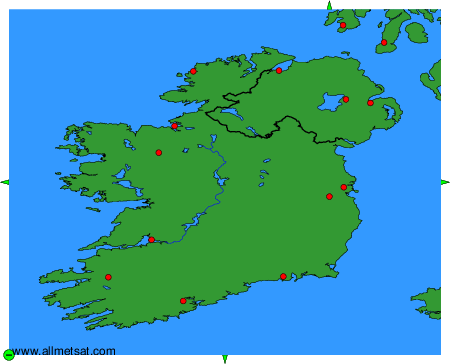
To change the map : click on the green buttons with a black cross to zoom in, on the green button with a dash to zoom out, or on the green arrows for adjacent maps.