METAR-TAF
Airports :
George Best Belfast City Airport
Belfast City, Northern Ireland
latitude: 54-36N, longitude: 005-53W, elevation: 5 m
Current weather observation
The report was made 21 minutes ago, at 19:20 UTC
Wind 8 kt from the West/Southwest, varying between South/Southwest and West
Temperature 20°C
Humidity 46%
Pressure 1020 hPa
Visibility 10 km or more
METAR: EGAC 291920Z AUTO 24008KT 210V270 9999 NCD 20/08 Q1020
Time: 20:41 (19:41 UTC)
Forecast
The report was made 2 hours and 45 minutes ago, at 16:56 UTC
Forecast valid from 29 at 18 UTC to 29 at 22 UTC
Wind 10 kt from the West/Southwest
Visibility 10 km or more
Scattered clouds at a height of 3000 ft
TAF: EGAC 291656Z 2918/2922 25010KT 9999 SCT030
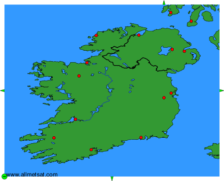
Weather observations and forecasts of more than 4000 airports (METAR and TAF reports).
The available stations are represented by yellow and red dots on the map.
Hover mouse over dot to see the name of the station.
Then click to see weather observations and forecasts.
To change the map : click on the green buttons with a black cross to zoom in, on the green button with a dash to zoom out, or on the green arrows for adjacent maps.