METAR-TAF
Airports :
Shannon Airport
Shannon, Ireland
latitude: 52-42N, longitude: 008-55W, elevation: 14 m
Current weather observation
The report was made 9 minutes ago, at 13:00 UTC
Wind 13 kt from the West/Southwest
Temperature 19°C
Humidity 94%
Pressure 1018 hPa
Visibility 10 km or more
Broken clouds at a height of 500 ft
Broken clouds at a height of 800 ft
Broken clouds at a height of 800 ft
METAR: EINN 271300Z 25013KT 9999 BKN005 BKN008 19/18 Q1018 NOSIG
Time: 14:09 (13:09 UTC)
Forecast
The report was made 2 hours and 9 minutes ago, at 11:00 UTC
Forecast valid from 27 at 12 UTC to 28 at 12 UTC
Wind 15 kt from the West/Southwest
Visibility: 6000 m
Scattered clouds at a height of 400 ft
Broken clouds at a height of 800 ft
Broken clouds at a height of 800 ft
light drizzle
Probability 40% :
Temporary
from 27 at 12 UTC to 27 at 21 UTC
from 27 at 12 UTC to 27 at 21 UTC
Visibility: 3000 m
Broken clouds at a height of 400 ft
drizzle, mist
Becoming
from 27 at 20 UTC to 27 at 22 UTC
from 27 at 20 UTC to 27 at 22 UTC
Wind 8 kt from the South
Visibility 10 km or more
Broken clouds at a height of 1200 ft
Probability 30% :
Temporary
from 28 at 00 UTC to 28 at 08 UTC
from 28 at 00 UTC to 28 at 08 UTC
Visibility: 4000 m
Broken clouds at a height of 700 ft
drizzle
TAF: EINN 271100Z 2712/2812 25015KT 6000 -DZ SCT004 BKN008 PROB40 TEMPO 2712/2721 3000 DZ BR BKN004 BECMG 2720/2722 18008KT 9999 BKN012 PROB30 TEMPO 2800/2808 4000 DZ BKN007
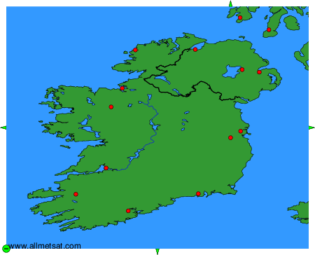
Weather observations and forecasts of more than 4000 airports (METAR and TAF reports).
The available stations are represented by yellow and red dots on the map.
Hover mouse over dot to see the name of the station.
Then click to see weather observations and forecasts.
To change the map : click on the green buttons with a black cross to zoom in, on the green button with a dash to zoom out, or on the green arrows for adjacent maps.