METAR-TAF
Airports :
Sligo Airport
Sligo, Ireland
latitude: 54-16-49N, longitude: 8-35-57W, elevation: 3 m
Current weather observation
The report was made 31 minutes ago, at 08:30 UTC
Wind 4 kt from the East/Northeast
Temperature 15°C
Humidity 63%
Pressure 1027 hPa
Visibility 10 km or more
Few clouds at a height of 2600 ft
METAR: EISG 210830Z 07004KT 9999 FEW026 15/08 Q1027
Time: 10:01 (09:01 UTC)
Forecast
The report was made 1 hour and 1 minutes ago, at 08:00 UTC
Forecast valid from 21 at 09 UTC to 21 at 18 UTC
Wind 3 kt from variable directions
Visibility 10 km or more
Few clouds at a height of 2500 ft
Becoming
from 21 at 10 UTC to 21 at 12 UTC
from 21 at 10 UTC to 21 at 12 UTC
Wind 10 kt from the Southeast
TAF: EISG 210800Z 2109/2118 VRB03KT 9999 FEW025 BECMG 2110/2112 13010KT
Weather observations and forecasts of more than 4000 airports (METAR and TAF reports).
The available stations are represented by yellow and red dots on the map.
Hover mouse over dot to see the name of the station.
Then click to see weather observations and forecasts.
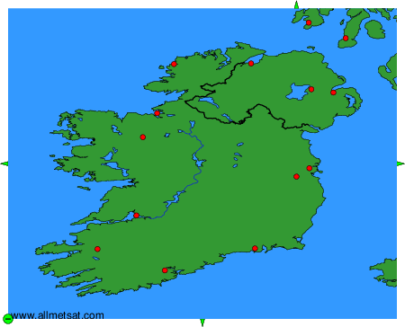
To change the map : click on the green buttons with a black cross to zoom in, on the green button with a dash to zoom out, or on the green arrows for adjacent maps.