METAR-TAF
Airports :
Taba International Airport
Taba, Egypt
latitude: 29-35-57N, longitude: 034-46-36E, elevation: 749 m
METAR: missing
Time: 09:58 (07:58 UTC)
Forecast
The report was made 2 hours and 58 minutes ago, at 05:00 UTC
Forecast valid from 29 at 06 UTC to 30 at 12 UTC
Wind 15 kt from the South
Visibility 10 km or more
Scattered clouds at a height of 2500 ft
Temporary
from 29 at 06 UTC to 29 at 12 UTC
from 29 at 06 UTC to 29 at 12 UTC
Visibility: 2000 m
Broken clouds at a height of 2500 ft
rain, sand
TAF: HETB 290500Z 2906/3012 19015KT 9999 SCT025 TEMPO 2906/2912 2000 RASA BKN025
Weather observations and forecasts of more than 4000 airports (METAR and TAF reports).
The available stations are represented by yellow and red dots on the map.
Hover mouse over dot to see the name of the station.
Then click to see weather observations and forecasts.
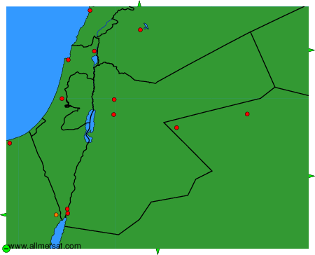
To change the map : click on the green buttons with a black cross to zoom in, on the green button with a dash to zoom out, or on the green arrows for adjacent maps.