METAR-TAF
Airports :
Ben Gurion Airport
Tel Aviv / Ben Gurion, Israel
latitude: 32-00N, longitude: 034-54E, elevation: 40 m
Current weather observation
METAR: LLBG 282350Z VRB03KT 9999 SCT016 24/21 Q1010 TEMPO BKN015
Time: 03:03 (00:03 UTC)
Forecast
from 29 at 00 UTC to 29 at 06 UTC
from 29 at 07 UTC to 29 at 09 UTC
from 29 at 15 UTC to 29 at 17 UTC
from 29 at 22 UTC to 29 at 24 UTC
TAF: LLBG 282322Z 2900/2924 VRB04KT 9999 SCT017 TX33/2911Z TN23/2903Z TEMPO 2900/2906 BKN015 BECMG 2907/2909 30010KT CAVOK BECMG 2915/2917 VRB03KT 9999 FEW015 PROB30 TEMPO 2922/2924 BKN013
Weather observations and forecasts of more than 4000 airports (METAR and TAF reports).
The available stations are represented by yellow and red dots on the map.
Hover mouse over dot to see the name of the station.
Then click to see weather observations and forecasts.
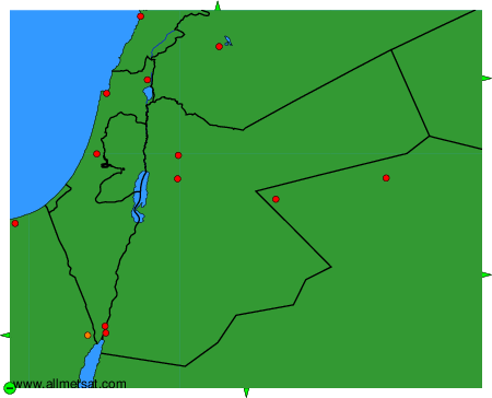
To change the map : click on the green buttons with a black cross to zoom in, on the green button with a dash to zoom out, or on the green arrows for adjacent maps.