METAR-TAF
Airports :
Haifa Airport
Haifa, Israel
latitude: 32-48N, longitude: 035-02E, elevation: 8 m
Current weather observation
Broken clouds at a height of 4700 ft
METAR: LLHA 310350Z AUTO 10004KT 9999 SCT029 BKN047 14/11 Q1012
Time: 07:01 (04:01 UTC)
Forecast
from 31 at 00 UTC to 31 at 07 UTC
from 31 at 07 UTC to 31 at 09 UTC
from 31 at 09 UTC to 31 at 12 UTC
from 31 at 15 UTC to 31 at 17 UTC
from 31 at 19 UTC to 31 at 21 UTC
TAF: LLHA 302251Z 3100/3124 VRB04KT 9999 SCT030 TX19/3110Z TN12/3104Z PROB40 TEMPO 3100/3107 18008KT -RA BKN025 BECMG 3107/3109 28010KT PROB40 TEMPO 3109/3112 -RA BKN030 BECMG 3115/3117 03007KT CAVOK BECMG 3119/3121 11008KT
Weather observations and forecasts of more than 4000 airports (METAR and TAF reports).
The available stations are represented by yellow and red dots on the map.
Hover mouse over dot to see the name of the station.
Then click to see weather observations and forecasts.
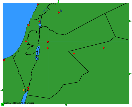
To change the map : click on the green buttons with a black cross to zoom in, on the green button with a dash to zoom out, or on the green arrows for adjacent maps.