METAR-TAF
Airports :
Beirut Air Base
Beirut, Lebanon
latitude: 33-49N, longitude: 035-29E, elevation: 29 m
METAR: missing
Time: 17:47 (14:47 UTC)
Forecast
The report was made 4 hours and 47 minutes ago, at 10:00 UTC
Forecast valid from 18 at 12 UTC to 19 at 12 UTC
Wind 13 kt from the South/Southwest
Visibility: 8000 m
Few clouds at a height of 3000 ft
Becoming
from 18 at 18 UTC to 18 at 20 UTC
from 18 at 18 UTC to 18 at 20 UTC
Wind 3 kt from variable directions
Visibility 10 km or more
no clouds below 1500 m and no cumulonimbus
Becoming
from 19 at 06 UTC to 19 at 08 UTC
from 19 at 06 UTC to 19 at 08 UTC
Wind 13 kt from the Southwest
Few clouds at a height of 3000 ft
TAF: OLBA 181000Z 1812/1912 21013KT 8000 FEW030 TX31/1911Z TN25/1902Z BECMG 1818/1820 VRB03KT CAVOK BECMG 1906/1908 22013KT FEW030
Weather observations and forecasts of more than 4000 airports (METAR and TAF reports).
The available stations are represented by yellow and red dots on the map.
Hover mouse over dot to see the name of the station.
Then click to see weather observations and forecasts.
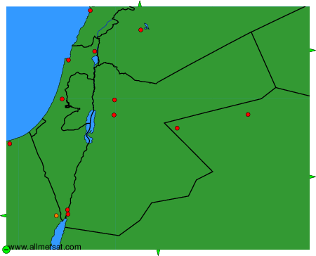
To change the map : click on the green buttons with a black cross to zoom in, on the green button with a dash to zoom out, or on the green arrows for adjacent maps.