METAR: LFSB 031800Z AUTO 34007KT CAVOK 11/05 Q1025 NOSIG
Time: 19:13 (18:13 UTC)
Forecast
The report was made 1 hour and 13 minutes ago, at 17:00 UTC
Forecast valid from 03 at 18 UTC to 04 at 18 UTC
Wind 3 mph from the North/Northwest
Visibility 6.2 miles or more
no clouds below 1500 m and no cumulonimbus
Probability 40% :
Temporary from 04 at 02 UTC to 04 at 08 UTC
Visibility: 9842 ft
mist
Probability 30% :
Temporary from 04 at 03 UTC to 04 at 07 UTC
Visibility: 2625 ft
fog
TAF: LFSB 031700Z 0318/0418 34003KT CAVOK PROB40 TEMPO 0402/0408 3000 BR PROB30 TEMPO 0403/0407 0800 FG VV///
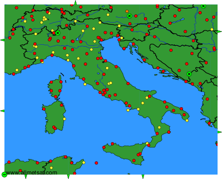
Weather observations and forecasts of more than 4000 airports (METAR and TAF reports).
The available stations are represented by yellow and red dots on the map.
Hover mouse over dot to see the name of the station.
Then click to see weather observations and forecasts.
To change the map : click on the green buttons with a black cross to zoom in, on the green button with a dash to zoom out, or on the green arrows for adjacent maps.