METAR-TAF
Airports :
Klagenfurt Airport
Klagenfurt, Austria
latitude: 46-39N, longitude: 014-20E, elevation: 1469 ft
Current weather observation
The report was made 22 minutes ago, at 16:20 UTC
Wind 9 mph from the West, varying between Southwest and Northwest
Temperature 52°F
Humidity 58%
Pressure 30.30 in. Hg
Visibility 6.2 miles or more
Few clouds at a height of 1800 ft
Few clouds at a height of 4000 ft, Towering cumulus.
Broken clouds at a height of 5000 ft
Few clouds at a height of 4000 ft, Towering cumulus.
Broken clouds at a height of 5000 ft
light rain showers
METAR: LOWK 031620Z 27008KT 220V310 9999 -SHRA FEW018 FEW040TCU BKN050 11/03 Q1026 TEMPO SHRA
Time: 17:42 (16:42 UTC)
Forecast
The report was made 5 hours and 27 minutes ago, at 11:15 UTC
Forecast valid from 03 at 12 UTC to 04 at 12 UTC
Wind 3 mph from variable directions
Visibility 6.2 miles or more
Few clouds at a height of 6000 ft
Temporary
from 03 at 13 UTC to 03 at 17 UTC
from 03 at 13 UTC to 03 at 17 UTC
Wind 8 mph from the East
Temporary
from 04 at 02 UTC to 04 at 08 UTC
from 04 at 02 UTC to 04 at 08 UTC
Visibility: 4593 ft
mist,
TAF: LOWK 031115Z 0312/0412 VRB03KT 9999 FEW060 TX13/0315Z TN00/0406Z TEMPO 0313/0317 09007KT TEMPO 0402/0408 1400 BR
Weather observations and forecasts of more than 4000 airports (METAR and TAF reports).
The available stations are represented by yellow and red dots on the map.
Hover mouse over dot to see the name of the station.
Then click to see weather observations and forecasts.
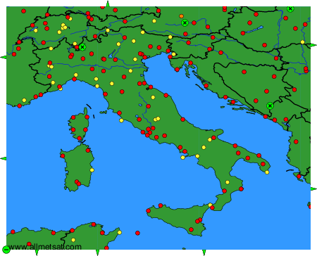
To change the map : click on the green buttons with a black cross to zoom in, on the green button with a dash to zoom out, or on the green arrows for adjacent maps.