latitude: 47-32N, longitude: 014-08E, elevation: 638 m
METAR: missing
Time: 23:43 (22:43 UTC)
Forecast
The report was made 11 hours and 28 minutes ago, at 11:15 UTC
Forecast valid from 06 at 12 UTC to 06 at 21 UTC
Wind 3 kt from variable directions
Visibility 10 km or more
Clear sky
Temporary from 06 at 12 UTC to 06 at 16 UTC
Wind 8 kt from the East/Northeast
TAF: LOXA 061115Z 0612/0621 VRB03KT 9999 SKC TEMPO 0612/0616 06008KT
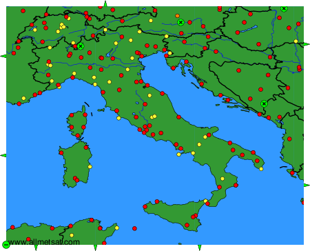
Weather observations and forecasts of more than 4000 airports (METAR and TAF reports).
The available stations are represented by yellow and red dots on the map.
Hover mouse over dot to see the name of the station.
Then click to see weather observations and forecasts.
To change the map : click on the green buttons with a black cross to zoom in, on the green button with a dash to zoom out, or on the green arrows for adjacent maps.