METAR-TAF
Airports :
Port Bouet Airport
Abidjan, Ivory coast
latitude: 05-15N, longitude: 003-56W, elevation: 7 m
Current weather observation
METAR: DIAP 250830Z 24008KT 8000 FEW012 27/23 Q1015 NOSIG
Time: 08:44 (08:44 UTC)
Forecast
from 25 at 06 UTC to 25 at 09 UTC
from 25 at 08 UTC to 25 at 12 UTC
Broken clouds at a height of 3000 ft
from 25 at 10 UTC to 25 at 12 UTC
from 26 at 05 UTC to 26 at 11 UTC
Overcast at a height of 2500 ft
TAF: DIAP 250530Z 2506/2612 VRB03KT 8000 FEW012 PROB40 2506/2509 4000 BR PROB30 TEMPO 2508/2512 BKN012 BKN030 BECMG 2510/2512 21010KT PROB40 TEMPO 2605/2611 3000 DZRA FE005 BKN010 OVC025
Weather observations and forecasts of more than 4000 airports (METAR and TAF reports).
The available stations are represented by yellow and red dots on the map.
Hover mouse over dot to see the name of the station.
Then click to see weather observations and forecasts.
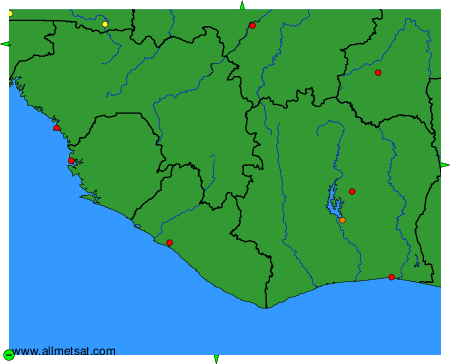
To change the map : click on the green buttons with a black cross to zoom in, on the green button with a dash to zoom out, or on the green arrows for adjacent maps.