METAR-TAF
Airports :
Lungi International Airport
Freetown, Sierra Leone
latitude: 08-37N, longitude: 013-12W, elevation: 25 m
Current weather observation
Few clouds at a height of 2600 ft, Cumulonimbus.
METAR: GFLL 130000Z 20010KT 7000 TSRA BKN010 FEW026CB 27/24 Q1013 RMK CB-NE/SW
Time: 04:50 (04:50 UTC)
Forecast
from 13 at 05 UTC to 13 at 07 UTC
from 13 at 12 UTC to 13 at 18 UTC
Few clouds at a height of 2700 ft, Cumulonimbus.
from 13 at 23 UTC to 14 at 03 UTC
Few clouds at a height of 2500 ft, Cumulonimbus.
TAF: GFLL 122320Z 1300/1406 20008KT 9999 BKN011 BECMG 1305/1307 VRB03KT 5000 BR BKN009 TEMPO 1312/1318 23010KT 9999 BKN012 FEW027CB TEMPO 1323/1403 5000 TSRA BKN010 FEW025CB
Weather observations and forecasts of more than 4000 airports (METAR and TAF reports).
The available stations are represented by yellow and red dots on the map.
Hover mouse over dot to see the name of the station.
Then click to see weather observations and forecasts.
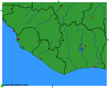
To change the map : click on the green buttons with a black cross to zoom in, on the green button with a dash to zoom out, or on the green arrows for adjacent maps.