METAR-TAF
Airports :
Conakry International Airport
Conakry, Guinea
latitude: 09-34N, longitude: 013-37W, elevation: 26 m
Current weather observation
The report was made 43 minutes ago, at 16:00 UTC
Wind 8 kt from the West, varying between West and Northwest
Temperature 30°C
Humidity 75%
Pressure 1010 hPa
Visibility 10 km or more
Broken clouds at a height of 1300 ft
Few clouds at a height of 1800 ft, Cumulonimbus.
Broken clouds at a height of 10000 ft
Few clouds at a height of 1800 ft, Cumulonimbus.
Broken clouds at a height of 10000 ft
METAR: GUCY 191600Z 28008KT 260V320 9999 BKN013 FEW018CB BKN100 30/25 Q1010 CB/NE-E-SE NOSIG
Time: 16:43 (16:43 UTC)
Forecast
The report was made 5 hours and 43 minutes ago, at 11:00 UTC
Forecast valid from 19 at 12 UTC to 20 at 18 UTC
Wind 6 kt from the West
Visibility 10 km or more
Broken clouds at a height of 1300 ft
Becoming
from 19 at 12 UTC to 19 at 14 UTC
from 19 at 12 UTC to 19 at 14 UTC
Visibility: 5000 m
Broken clouds at a height of 1200 ft
Few clouds at a height of 2000 ft, Cumulonimbus.
Few clouds at a height of 2000 ft, Cumulonimbus.
light rain
Temporary
from 19 at 18 UTC to 19 at 24 UTC
from 19 at 18 UTC to 19 at 24 UTC
Wind 12 kt from the East/Northeast
Visibility: 3000 m
Broken clouds at a height of 1100 ft
Few clouds at a height of 2000 ft, Cumulonimbus.
Overcast at a height of 10000 ft
Few clouds at a height of 2000 ft, Cumulonimbus.
Overcast at a height of 10000 ft
thunderstorm, light rain
TAF: GUCY 191100Z 1912/2018 26006KT 9999 BKN013 BECMG 1912/1914 5000 -RA BKN012 FEW020CB TEMPO 1918/1924 06012KT 3000 -TSRA BKN011 FEW020CB OVC100
Weather observations and forecasts of more than 4000 airports (METAR and TAF reports).
The available stations are represented by yellow and red dots on the map.
Hover mouse over dot to see the name of the station.
Then click to see weather observations and forecasts.
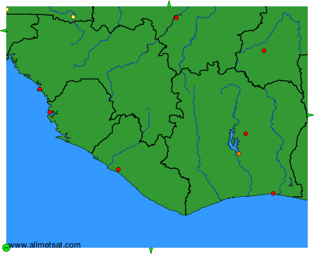
To change the map : click on the green buttons with a black cross to zoom in, on the green button with a dash to zoom out, or on the green arrows for adjacent maps.