METAR-TAF
Airports :
Aomori Airport
Aomori, Japan
latitude: 40-44N, longitude: 140-42E, elevation: 199 m
Current weather observation
Broken clouds at a height of 200 ft
METAR: RJSA 172300Z 05004KT 0500 R24/0275VP2000U FG BKN001 BKN002 22/22 Q1007
Time: 08:37 (23:37 UTC)
Forecast
Broken clouds at a height of 1200 ft
from 18 at 00 UTC to 18 at 02 UTC
from 18 at 02 UTC to 18 at 05 UTC
Broken clouds at a height of 300 ft
from 18 at 07 UTC to 18 at 09 UTC
from 18 at 12 UTC to 19 at 00 UTC
Broken clouds at a height of 800 ft
TAF: RJSA 172305Z 1800/1906 04006KT 6000 -RA FEW005 BKN012 TEMPO 1800/1802 0500 FG VV001 TEMPO 1802/1805 2000 -RA BR FEW001 BKN003 BECMG 1807/1809 21012KT TEMPO 1812/1900 3000 SHRA BR FEW003 BKN008
Weather observations and forecasts of more than 4000 airports (METAR and TAF reports).
The available stations are represented by yellow and red dots on the map.
Hover mouse over dot to see the name of the station.
Then click to see weather observations and forecasts.
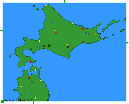
To change the map : click on the green buttons with a black cross to zoom in, on the green button with a dash to zoom out, or on the green arrows for adjacent maps.