METAR-TAF
Airports :
Akita Airport
Akita, Japan
latitude: 39-37N, longitude: 140-13E, elevation: 93 m
Current weather observation
The report was made 3 hours and 57 minutes ago, at 12:00 UTC
Wind 3 kt from the East
Temperature 25°C
Humidity 79%
Pressure 1014 hPa
Visibility 10 km or more
no clouds below 1500 m and no cumulonimbus
METAR: RJSK 091200Z 09003KT CAVOK 25/21 Q1014
Time: 00:57 (15:57 UTC)
Forecast
The report was made 4 hours and 52 minutes ago, at 11:05 UTC
Forecast valid from 09 at 12 UTC to 10 at 18 UTC
Wind 4 kt from the Southeast
Visibility 10 km or more
Few clouds at a height of 3000 ft
Becoming
from 10 at 00 UTC to 10 at 03 UTC
from 10 at 00 UTC to 10 at 03 UTC
Wind 10 kt from the West
Becoming
from 10 at 12 UTC to 10 at 15 UTC
from 10 at 12 UTC to 10 at 15 UTC
Wind 4 kt from the East/Southeast
TAF: RJSK 091105Z 0912/1018 13004KT 9999 FEW030 BECMG 1000/1003 28010KT BECMG 1012/1015 12004KT
Weather observations and forecasts of more than 4000 airports (METAR and TAF reports).
The available stations are represented by yellow and red dots on the map.
Hover mouse over dot to see the name of the station.
Then click to see weather observations and forecasts.
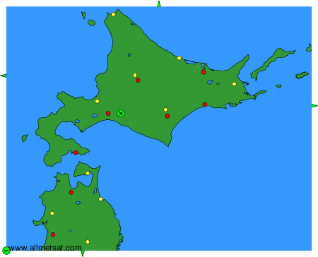
To change the map : click on the green buttons with a black cross to zoom in, on the green button with a dash to zoom out, or on the green arrows for adjacent maps.