METAR-TAF
Airports :
Narita International Airport
Tokyo Narita, Japan
latitude: 35-46N, longitude: 140-23E, elevation: 41 m
Current weather observation
The report was made 38 minutes ago, at 09:00 UTC
Wind 8 kt from the North/Northeast
Temperature 15°C
Humidity 88%
Pressure 1007 hPa
Visibility 10 km or more
Few clouds at a height of 2000 ft, Cumulonimbus.
Scattered clouds at a height of 3000 ft
Broken clouds at a height of 8000 ft
Scattered clouds at a height of 3000 ft
Broken clouds at a height of 8000 ft
thunderstorm, light rain
METAR: RJAA 270900Z 03008KT 9999 -TSRA FEW020CB SCT030 BKN080 15/13 Q1007 BECMG TL1000 -SHRA
Time: 18:38 (09:38 UTC)
Forecast
The report was made 4 hours and 33 minutes ago, at 05:05 UTC
Forecast valid from 27 at 06 UTC to 28 at 12 UTC
Wind 8 kt from the North
Visibility 10 km or more
Few clouds at a height of 1500 ft
Broken clouds at a height of 3000 ft
Broken clouds at a height of 3000 ft
light rain showers
Becoming
from 27 at 14 UTC to 27 at 16 UTC
from 27 at 14 UTC to 27 at 16 UTC
Wind 10 kt from the South
Temporary
from 28 at 00 UTC to 28 at 12 UTC
from 28 at 00 UTC to 28 at 12 UTC
Wind 18 kt from the South/Southwest with gusts up to 30 kt
TAF: RJAA 270505Z 2706/2812 35008KT 9999 -SHRA FEW015 BKN030 BECMG 2714/2716 19010KT TEMPO 2800/2812 21018G30KT
Weather observations and forecasts of more than 4000 airports (METAR and TAF reports).
The available stations are represented by yellow and red dots on the map.
Hover mouse over dot to see the name of the station.
Then click to see weather observations and forecasts.
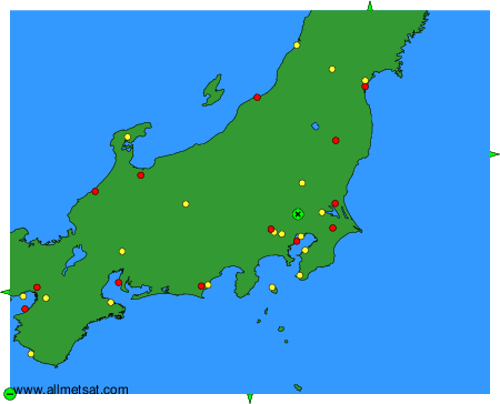
To change the map : click on the green buttons with a black cross to zoom in, on the green button with a dash to zoom out, or on the green arrows for adjacent maps.