METAR-TAF
Airports :
Kansai International Airport
Kansai, Japan
latitude: 34-25N, longitude: 135-15E, elevation: 5 m
Current weather observation
The report was made 28 minutes ago, at 11:30 UTC
Wind 1 kt from variable directions
Temperature 29°C
Humidity 66%
Pressure 1002 hPa
Visibility 10 km or more
Few clouds at a height of 3000 ft
Scattered clouds
Scattered clouds
METAR: RJBB 161130Z VRB01KT 9999 FEW030 SCT/// 29/22 Q1002 BECMG 02005KT
Time: 20:58 (11:58 UTC)
Forecast
The report was made 53 minutes ago, at 11:05 UTC
Forecast valid from 16 at 12 UTC to 17 at 18 UTC
Wind 8 kt from the Northeast
Visibility 10 km or more
Few clouds at a height of 3000 ft
Becoming
from 17 at 00 UTC to 17 at 03 UTC
from 17 at 00 UTC to 17 at 03 UTC
Wind 6 kt from the West/Southwest
Becoming
from 17 at 15 UTC to 17 at 18 UTC
from 17 at 15 UTC to 17 at 18 UTC
Wind 4 kt from the East/Southeast
TAF: RJBB 161105Z 1612/1718 04008KT 9999 FEW030 BECMG 1700/1703 24006KT BECMG 1715/1718 11004KT
Weather observations and forecasts of more than 4000 airports (METAR and TAF reports).
The available stations are represented by yellow and red dots on the map.
Hover mouse over dot to see the name of the station.
Then click to see weather observations and forecasts.
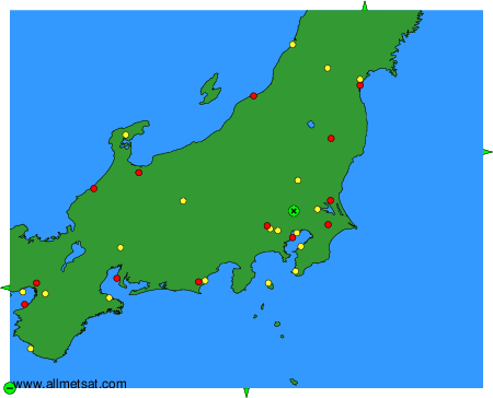
To change the map : click on the green buttons with a black cross to zoom in, on the green button with a dash to zoom out, or on the green arrows for adjacent maps.