METAR-TAF
Airports :
Niigata Airport
Niigata, Japan
latitude: 37-57N, longitude: 139-07E, elevation: 1 m
Current weather observation
Broken clouds at a height of 2700 ft
Overcast at a height of 2900 ft
METAR: RJSN 291400Z AUTO 19006KT 9999 FEW018 BKN027 OVC029 25/22 Q1005
Time: 00:07 (15:07 UTC)
Forecast
Broken clouds at a height of 1500 ft
from 29 at 12 UTC to 29 at 14 UTC
from 29 at 14 UTC to 29 at 21 UTC
Broken clouds at a height of 800 ft
Few clouds at a height of 2000 ft, Cumulonimbus.
from 30 at 09 UTC to 30 at 18 UTC
Broken clouds at a height of 800 ft
Few clouds at a height of 2000 ft, Cumulonimbus.
TAF: RJSN 291105Z 2912/3018 22010KT 8000 -SHRA FEW008 BKN015 TEMPO 2912/2914 4000 -SHRA BR TEMPO 2914/2921 3000 TSRA BR FEW005 BKN008 FEW020CB TEMPO 3009/3018 4000 -TSRA BR FEW005 BKN008 FEW020CB
Weather observations and forecasts of more than 4000 airports (METAR and TAF reports).
The available stations are represented by yellow and red dots on the map.
Hover mouse over dot to see the name of the station.
Then click to see weather observations and forecasts.
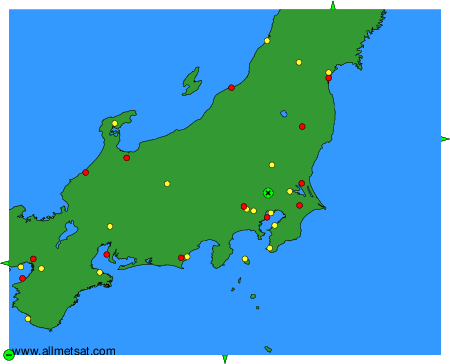
To change the map : click on the green buttons with a black cross to zoom in, on the green button with a dash to zoom out, or on the green arrows for adjacent maps.