METAR-TAF
Airports :
Camp Zama
Zama, Japan
latitude: 35-31N, longitude: 139-24E, elevation: 109 m
Current weather observation
The report was made 26 minutes ago, at 14:55 UTC
Calm wind
Temperature 20°C
Humidity 100%
Pressure 1008 hPa
Visibility: 3.6 km
Broken clouds at a height of 600 ft
Overcast at a height of 1200 ft
Overcast at a height of 1200 ft
light rain, mist
METAR: RJTR 201455Z AUTO 00000KT 2 1/4SM -RA BR BKN006 OVC012 20/20 A2978 RMK AO2 VIS 2 1/4V4 SLP085 P0007 60033 T02010196 402380195 57027 $
Time: 00:21 (15:21 UTC)
TAF: missing
Weather observations and forecasts of more than 4000 airports (METAR and TAF reports).
The available stations are represented by yellow and red dots on the map.
Hover mouse over dot to see the name of the station.
Then click to see weather observations and forecasts.
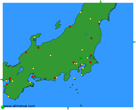
To change the map : click on the green buttons with a black cross to zoom in, on the green button with a dash to zoom out, or on the green arrows for adjacent maps.