METAR-TAF
Airports :
Kansai International Airport
Kansai, Japan
latitude: 34-25N, longitude: 135-15E, elevation: 5 m
Current weather observation
The report was made 22 minutes ago, at 01:30 UTC
Wind 6 kt from the Northwest
Temperature 32°C
Humidity 71%
Pressure 1011 hPa
Visibility 10 km or more
Few clouds at a height of 3000 ft
METAR: RJBB 250130Z 31006KT 9999 FEW030 32/26 Q1011 NOSIG
Time: 10:52 (01:52 UTC)
Forecast
The report was made 2 hours and 46 minutes ago, at 23:06 UTC
Forecast valid from 25 at 00 UTC to 26 at 06 UTC
Wind 5 kt from the North
Visibility 10 km or more
Few clouds at a height of 3000 ft
Becoming
from 25 at 01 UTC to 25 at 03 UTC
from 25 at 01 UTC to 25 at 03 UTC
Wind 6 kt from the West/Southwest
Temporary
from 25 at 06 UTC to 25 at 09 UTC
from 25 at 06 UTC to 25 at 09 UTC
Few clouds at a height of 2000 ft
Few clouds at a height of 2500 ft, Cumulonimbus.
Broken clouds at a height of 3000 ft
Few clouds at a height of 2500 ft, Cumulonimbus.
Broken clouds at a height of 3000 ft
thunderstorm
Becoming
from 25 at 08 UTC to 25 at 10 UTC
from 25 at 08 UTC to 25 at 10 UTC
Wind 14 kt from the North/Northeast
Becoming
from 26 at 03 UTC to 26 at 06 UTC
from 26 at 03 UTC to 26 at 06 UTC
Wind 8 kt from the West/Southwest
TAF: RJBB 242306Z 2500/2606 01005KT 9999 FEW030 BECMG 2501/2503 24006KT TEMPO 2506/2509 TS FEW020 FEW025CB BKN030 BECMG 2508/2510 03014KT BECMG 2603/2606 24008KT
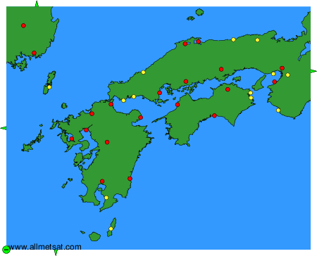
Weather observations and forecasts of more than 4000 airports (METAR and TAF reports).
The available stations are represented by yellow and red dots on the map.
Hover mouse over dot to see the name of the station.
Then click to see weather observations and forecasts.
To change the map : click on the green buttons with a black cross to zoom in, on the green button with a dash to zoom out, or on the green arrows for adjacent maps.