METAR-TAF
Airports :
New Tanegashima Airport
Tanegashima, Japan
latitude: 30-33N, longitude: 130-57E, elevation: 302 ft
Current weather observation
The report was made 36 minutes ago, at 10:00 UTC
Wind 8 mph from the West/Northwest
Temperature 81°F
Humidity 94%
Pressure 29.68 in. Hg
Visibility 6.2 miles or more
Scattered clouds at a height of 500 ft
Broken clouds at a height of 700 ft
Broken clouds at a height of 900 ft
Broken clouds at a height of 700 ft
Broken clouds at a height of 900 ft
METAR: RJFG 181000Z AUTO 29007KT 9999 SCT005 BKN007 BKN009 27/26 Q1005
Time: 19:36 (10:36 UTC)
TAF: missing
Weather observations and forecasts of more than 4000 airports (METAR and TAF reports).
The available stations are represented by yellow and red dots on the map.
Hover mouse over dot to see the name of the station.
Then click to see weather observations and forecasts.
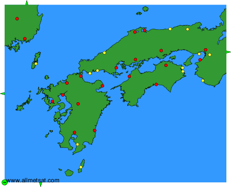
To change the map : click on the green buttons with a black cross to zoom in, on the green button with a dash to zoom out, or on the green arrows for adjacent maps.