Main page
METAR-TAF:

METAR-TAF

Airports :

Miyazaki Airport

Miyazaki, Japan

latitude: 31-52N, longitude: 131-27E, elevation: 6 m

Current weather observation

The report was made 49 minutes ago, at 01:00 UTC
Wind 21 kt from the North/Northeast
Temperature 24°C
Humidity 94%
Pressure 999 hPa
Visibility 10 km or more
Few clouds at a height of 300 ft
Broken clouds at a height of 700 ft
Broken clouds at a height of 1500 ft

METAR: RJFM 070100Z 02021KT 9999 FEW003 BKN007 BKN015 24/23 Q0999

Time: 10:49 (01:49 UTC)

Forecast

The report was made 2 hours and 44 minutes ago, at 23:05 UTC
Forecast valid from 07 at 00 UTC to 08 at 06 UTC
Wind 32 kt from the North/Northeast
Visibility: 6000 m
Few clouds at a height of 500 ft
Scattered clouds at a height of 700 ft
Broken clouds at a height of 1200 ft
light rain showers
Temporary
from 07 at 00 UTC to 07 at 02 UTC
Wind 34 kt from the North/Northeast with gusts up to 45 kt
Visibility: 1500 m
Broken clouds at a height of 500 ft
Broken clouds at a height of 700 ft
Few clouds at a height of 1200 ft, Cumulonimbus.
thunderstorm, heavy rain, mist
Becoming
from 07 at 02 UTC to 07 at 04 UTC
Wind 16 kt from the North/Northwest
Temporary
from 07 at 02 UTC to 07 at 09 UTC
Visibility: 3000 m
Broken clouds at a height of 500 ft
Broken clouds at a height of 700 ft
rain showers, mist
Becoming
from 07 at 04 UTC to 07 at 06 UTC
Wind 6 kt from the East
Becoming
from 07 at 15 UTC to 07 at 18 UTC
Wind 6 kt from the West
Becoming
from 08 at 00 UTC to 08 at 03 UTC
Wind 8 kt from the East/Southeast

TAF: RJFM 062305Z 0700/0806 03032KT 6000 -SHRA FEW005 SCT007 BKN012 TEMPO 0700/0702 03034G45KT 1500 +TSRA BR BKN005 BKN007 FEW012CB BECMG 0702/0704 33016KT TEMPO 0702/0709 3000 SHRA BR BKN005 BKN007 BECMG 0704/0706 09006KT BECMG 0715/0718 27006KT BECMG 0800/0803 12008KT

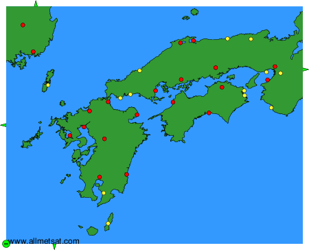
Weather observations and forecasts of more than 4000 airports (METAR and TAF reports).

The available stations are represented by yellow and red dots on the map.

Hover mouse over dot to see the name of the station.

Then click to see weather observations and forecasts.

To change the map : click on the green buttons with a black cross to zoom in, on the green button with a dash to zoom out, or on the green arrows for adjacent maps.


METAR-TAF: