METAR-TAF
Airports :
Kumamoto Airport
Kumamoto, Japan
latitude: 32-50N, longitude: 130-51E, elevation: 193 m
Current weather observation
Scattered clouds at a height of 1000 ft
Broken clouds at a height of 1500 ft
METAR: RJFT 051000Z 22007KT 4000 SHRA BR FEW008 SCT010 BKN015 25/24 Q1009
Time: 19:45 (10:45 UTC)
Forecast
Scattered clouds at a height of 300 ft
Broken clouds at a height of 1500 ft
from 05 at 06 UTC to 05 at 07 UTC
Broken clouds at a height of 700 ft
from 05 at 07 UTC to 05 at 15 UTC
Broken clouds at a height of 600 ft
Few clouds at a height of 2500 ft, Cumulonimbus.
from 05 at 15 UTC to 06 at 03 UTC
Broken clouds at a height of 400 ft
Few clouds at a height of 2500 ft, Cumulonimbus.
from 06 at 03 UTC to 06 at 06 UTC
Broken clouds at a height of 2500 ft
TAF: RJFT 050505Z 0506/0612 21008KT 7000 -SHRA FEW002 SCT003 BKN015 TEMPO 0506/0507 3500 -SHRA BR BKN005 BKN007 TEMPO 0507/0515 3000 TSRA BR BKN005 BKN006 FEW025CB TEMPO 0515/0603 1500 +TSRA BR BKN003 BKN004 FEW025CB TEMPO 0603/0606 4000 -SHRA BR BKN008 BKN025
Weather observations and forecasts of more than 4000 airports (METAR and TAF reports).
The available stations are represented by yellow and red dots on the map.
Hover mouse over dot to see the name of the station.
Then click to see weather observations and forecasts.
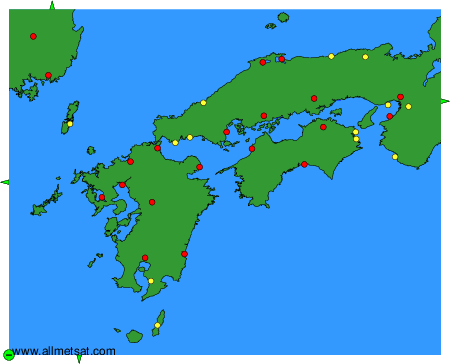
To change the map : click on the green buttons with a black cross to zoom in, on the green button with a dash to zoom out, or on the green arrows for adjacent maps.