METAR-TAF
Airports :
Okayama Airport
Okayama, Japan
latitude: 34-45N, longitude: 133-51E, elevation: 241 m
Current weather observation
Scattered clouds at a height of 1000 ft
Broken clouds at a height of 1500 ft
METAR: RJOB 070500Z 10003KT 030V190 9999 FEW007 SCT010 BKN015 25/22 Q1011
Time: 14:11 (05:11 UTC)
Forecast
Broken clouds at a height of 1500 ft
from 07 at 00 UTC to 07 at 02 UTC
from 07 at 02 UTC to 07 at 04 UTC
Scattered clouds at a height of 300 ft
Broken clouds at a height of 800 ft
from 07 at 12 UTC to 07 at 21 UTC
Scattered clouds at a height of 500 ft
Broken clouds at a height of 800 ft
TAF: RJOB 062305Z 0700/0806 14006KT 9999 FEW008 BKN015 TEMPO 0700/0702 0300 FG VV001 TEMPO 0702/0704 3000 BR BCFG FEW000 SCT003 BKN008 TEMPO 0712/0721 FEW001 SCT005 BKN008
Weather observations and forecasts of more than 4000 airports (METAR and TAF reports).
The available stations are represented by yellow and red dots on the map.
Hover mouse over dot to see the name of the station.
Then click to see weather observations and forecasts.
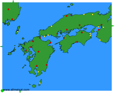
To change the map : click on the green buttons with a black cross to zoom in, on the green button with a dash to zoom out, or on the green arrows for adjacent maps.