METAR-TAF
Airports :
Kōchi Airport
Kochi, Japan
latitude: 33-32N, longitude: 133-40E, elevation: 7 m
Current weather observation
The report was made 31 minutes ago, at 23:00 UTC
Wind 6 kt from the Southeast
Temperature 32°C
Humidity 67%
Pressure 1006 hPa
Visibility 10 km or more
Few clouds at a height of 3000 ft
METAR: RJOK 012300Z 13006KT 9999 FEW030 32/25 Q1006
Time: 08:31 (23:31 UTC)
Forecast
The report was made 26 minutes ago, at 23:05 UTC
Forecast valid from 02 at 00 UTC to 03 at 06 UTC
Wind 8 kt from the South
Visibility 10 km or more
Few clouds at a height of 3000 ft
Scattered clouds at a height of 6000 ft
Scattered clouds at a height of 6000 ft
Becoming
from 02 at 10 UTC to 02 at 12 UTC
from 02 at 10 UTC to 02 at 12 UTC
Wind 6 kt from the North
Becoming
from 02 at 21 UTC to 03 at 00 UTC
from 02 at 21 UTC to 03 at 00 UTC
Wind 10 kt from the South/Southeast
TAF: RJOK 012305Z 0200/0306 17008KT 9999 FEW030 SCT060 BECMG 0210/0212 35006KT BECMG 0221/0300 16010KT
Weather observations and forecasts of more than 4000 airports (METAR and TAF reports).
The available stations are represented by yellow and red dots on the map.
Hover mouse over dot to see the name of the station.
Then click to see weather observations and forecasts.
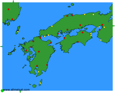
To change the map : click on the green buttons with a black cross to zoom in, on the green button with a dash to zoom out, or on the green arrows for adjacent maps.