METAR-TAF
Airports :
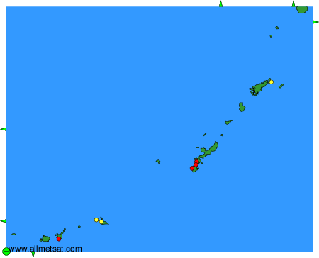
Naha Airport
Naha, Japan
latitude: 26-11N, longitude: 127-39E, elevation: 3 m
Current weather observation
The report was made 23 minutes ago, at 08:00 UTC
Wind 10 kt from the East
Temperature 23°C
Humidity 94%
Pressure 1010 hPa
Visibility 10 km or more
Few clouds at a height of 700 ft
Broken clouds at a height of 5000 ft
Broken clouds at a height of 5000 ft
light rain
METAR: ROAH 110800Z 09010KT 9999 -RA FEW007 BKN050 23/22 Q1010
Time: 17:23 (08:23 UTC)
Forecast
The report was made 3 hours and 9 minutes ago, at 05:14 UTC
Forecast valid from 11 at 06 UTC to 12 at 12 UTC
Wind 14 kt from the East/Southeast
Visibility 10 km or more
Few clouds at a height of 800 ft
Broken clouds at a height of 1200 ft
Broken clouds at a height of 1200 ft
light rain showers
Temporary
from 11 at 06 UTC to 11 at 15 UTC
from 11 at 06 UTC to 11 at 15 UTC
Visibility: 4000 m
Few clouds at a height of 600 ft
Broken clouds at a height of 800 ft
Few clouds at a height of 1500 ft, Cumulonimbus.
Broken clouds at a height of 800 ft
Few clouds at a height of 1500 ft, Cumulonimbus.
rain showers, mist
Temporary
from 11 at 15 UTC to 11 at 21 UTC
from 11 at 15 UTC to 11 at 21 UTC
Few clouds at a height of 600 ft
Broken clouds at a height of 800 ft
Broken clouds at a height of 800 ft
TAF: ROAH 110514Z 1106/1212 11014KT 9999 -SHRA FEW008 BKN012 TEMPO 1106/1115 4000 SHRA BR FEW006 BKN008 FEW015CB TEMPO 1115/1121 FEW006 BKN008
Weather observations and forecasts of more than 4000 airports (METAR and TAF reports).
The available stations are represented by yellow and red dots on the map.
Hover mouse over dot to see the name of the station.
Then click to see weather observations and forecasts.
To change the map : click on the green buttons with a black cross to zoom in, on the green button with a dash to zoom out, or on the green arrows for adjacent maps.