METAR-TAF
Airports :
Tokachi–Obihiro Airport
Obihiro, Japan
latitude: 42-44N, longitude: 143-13E, elevation: 149 m
Current weather observation
The report was made 49 minutes ago, at 01:00 UTC
Wind 3 kt from variable directions
Temperature 22°C
Humidity 69%
Pressure 1015 hPa
Visibility 10 km or more
Few clouds at a height of 1500 ft
Broken clouds at a height of 2500 ft
Broken clouds at a height of 2500 ft
METAR: RJCB 270100Z VRB03KT 9999 FEW015 BKN025 22/16 Q1015
Time: 10:49 (01:49 UTC)
Forecast
The report was made 2 hours and 40 minutes ago, at 23:09 UTC
Forecast valid from 27 at 00 UTC to 28 at 06 UTC
Wind 10 kt from the South/Southeast
Visibility 10 km or more
Few clouds at a height of 800 ft
Scattered clouds at a height of 1200 ft
Broken clouds at a height of 1500 ft
Scattered clouds at a height of 1200 ft
Broken clouds at a height of 1500 ft
Becoming
from 27 at 10 UTC to 27 at 12 UTC
from 27 at 10 UTC to 27 at 12 UTC
Wind 5 kt from the North/Northeast
Becoming
from 27 at 21 UTC to 28 at 00 UTC
from 27 at 21 UTC to 28 at 00 UTC
Wind 5 kt from the South/Southeast
TAF: RJCB 262309Z 2700/2806 15010KT 9999 FEW008 SCT012 BKN015 BECMG 2710/2712 03005KT BECMG 2721/2800 16005KT
Weather observations and forecasts of more than 4000 airports (METAR and TAF reports).
The available stations are represented by yellow and red dots on the map.
Hover mouse over dot to see the name of the station.
Then click to see weather observations and forecasts.
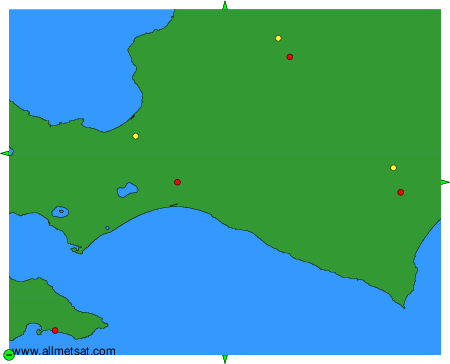
To change the map : click on the green buttons with a black cross to zoom in, on the green button with a dash to zoom out, or on the green arrows for adjacent maps.