METAR-TAF
Airports :
New Chitose Airport
Chitose, Japan
latitude: 42-48N, longitude: 141-40E, elevation: 27 m
Current weather observation
Scattered clouds at a height of 1000 ft
Broken clouds at a height of 1500 ft
METAR: RJCC 282330Z 16007KT 2500 -SHRA BR FEW003 SCT010 BKN015 19/18 Q1006
Time: 08:48 (23:48 UTC)
Forecast
Broken clouds at a height of 1500 ft
from 29 at 00 UTC to 29 at 06 UTC
Broken clouds at a height of 500 ft
from 29 at 06 UTC to 29 at 09 UTC
Broken clouds at a height of 500 ft
from 29 at 09 UTC to 29 at 15 UTC
Broken clouds at a height of 300 ft
from 29 at 15 UTC to 29 at 21 UTC
Broken clouds at a height of 300 ft
from 29 at 21 UTC to 30 at 00 UTC
Broken clouds at a height of 600 ft
TAF: RJCC 282305Z 2900/3006 17010KT 9000 FEW005 BKN015 TEMPO 2900/2906 2000 -SHRA BR FEW003 BKN005 TEMPO 2906/2909 3000 SHRA BR FEW003 BKN005 TEMPO 2909/2915 2000 -SHRA BR FEW001 BKN003 TEMPO 2915/2921 1500 -SHRA BR FEW001 BKN003 TEMPO 2921/3000 FEW003 BKN006
Weather observations and forecasts of more than 4000 airports (METAR and TAF reports).
The available stations are represented by yellow and red dots on the map.
Hover mouse over dot to see the name of the station.
Then click to see weather observations and forecasts.
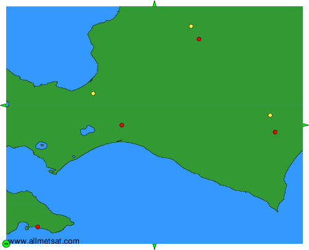
To change the map : click on the green buttons with a black cross to zoom in, on the green button with a dash to zoom out, or on the green arrows for adjacent maps.