METAR-TAF
Airports :
Hakodate Airport
Hakodate, Japan
latitude: 41-46N, longitude: 140-49E, elevation: 33 m
Current weather observation
The report was made 1 hour and 0 minutes ago, at 06:00 UTC
Wind 7 kt from the South, varying between South/Southeast and Southwest
Temperature 24°C
Humidity 89%
Pressure 1003 hPa
Visibility 10 km or more
Few clouds at a height of 600 ft
Scattered clouds at a height of 1200 ft
Broken clouds at a height of 4000 ft
Scattered clouds at a height of 1200 ft
Broken clouds at a height of 4000 ft
METAR: RJCH 190600Z 19007KT 160V220 9999 FEW006 SCT012 BKN040 24/22 Q1003
Time: 16:00 (07:00 UTC)
Forecast
The report was made 1 hour and 55 minutes ago, at 05:05 UTC
Forecast valid from 19 at 06 UTC to 20 at 12 UTC
Wind 14 kt from the Southwest
Visibility 10 km or more
Few clouds at a height of 1500 ft
Scattered clouds at a height of 2000 ft
Scattered clouds at a height of 2000 ft
Becoming
from 20 at 00 UTC to 20 at 03 UTC
from 20 at 00 UTC to 20 at 03 UTC
Wind 10 kt from the South
Becoming
from 20 at 06 UTC to 20 at 09 UTC
from 20 at 06 UTC to 20 at 09 UTC
Wind 8 kt from the West
TAF: RJCH 190505Z 1906/2012 22014KT 9999 FEW015 SCT020 BECMG 2000/2003 19010KT BECMG 2006/2009 27008KT
Weather observations and forecasts of more than 4000 airports (METAR and TAF reports).
The available stations are represented by yellow and red dots on the map.
Hover mouse over dot to see the name of the station.
Then click to see weather observations and forecasts.
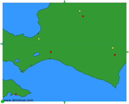
To change the map : click on the green buttons with a black cross to zoom in, on the green button with a dash to zoom out, or on the green arrows for adjacent maps.