METAR-TAF
Airports :
Asahikawa Airport
Asahikawa, Japan
latitude: 43-40N, longitude: 142-27E, elevation: 208 m
Current weather observation
The report was made 13 minutes ago, at 11:00 UTC
Wind 10 kt from the North
Temperature 17°C
Humidity 88%
Pressure 1012 hPa
Visibility 10 km or more
Few clouds at a height of 2500 ft
Broken clouds at a height of 4000 ft
Broken clouds at a height of 4000 ft
METAR: RJEC 011100Z 35010KT 9999 FEW025 BKN040 17/15 Q1012
Time: 20:13 (11:13 UTC)
Forecast
The report was made 6 hours and 8 minutes ago, at 05:05 UTC
Forecast valid from 01 at 06 UTC to 02 at 12 UTC
Wind 8 kt from the North/Northwest
Visibility 10 km or more
Few clouds at a height of 3000 ft
Scattered clouds at a height of 4000 ft
Scattered clouds at a height of 4000 ft
Becoming
from 01 at 18 UTC to 01 at 21 UTC
from 01 at 18 UTC to 01 at 21 UTC
Wind 6 kt from the South
Becoming
from 02 at 03 UTC to 02 at 06 UTC
from 02 at 03 UTC to 02 at 06 UTC
Wind 6 kt from the North/Northwest
Becoming
from 02 at 09 UTC to 02 at 12 UTC
from 02 at 09 UTC to 02 at 12 UTC
Wind 8 kt from the South
TAF: RJEC 010505Z 0106/0212 33008KT 9999 FEW030 SCT040 BECMG 0118/0121 17006KT BECMG 0203/0206 34006KT BECMG 0209/0212 19008KT
Weather observations and forecasts of more than 4000 airports (METAR and TAF reports).
The available stations are represented by yellow and red dots on the map.
Hover mouse over dot to see the name of the station.
Then click to see weather observations and forecasts.
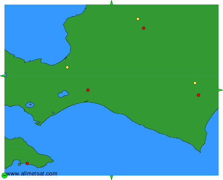
To change the map : click on the green buttons with a black cross to zoom in, on the green button with a dash to zoom out, or on the green arrows for adjacent maps.