METAR-TAF
Airports :
Narita International Airport
Tokyo Narita, Japan
latitude: 35-46N, longitude: 140-23E, elevation: 41 m
Current weather observation
The report was made 37 minutes ago, at 02:00 UTC
Wind 2 kt from variable directions
Temperature 33°C
Humidity 53%
Pressure 1003 hPa
Visibility 10 km or more
no clouds below 1500 m and no cumulonimbus
METAR: RJAA 300200Z VRB02KT CAVOK 33/22 Q1003 NOSIG
Time: 11:37 (02:37 UTC)
Forecast
The report was made 3 hours and 32 minutes ago, at 23:05 UTC
Forecast valid from 30 at 00 UTC to 31 at 06 UTC
Wind 4 kt from the West/Southwest
Visibility 10 km or more
Few clouds at a height of 3000 ft
Becoming
from 30 at 04 UTC to 30 at 06 UTC
from 30 at 04 UTC to 30 at 06 UTC
Wind 6 kt from the South/Southeast
Becoming
from 30 at 15 UTC to 30 at 18 UTC
from 30 at 15 UTC to 30 at 18 UTC
Wind 4 kt from the North/Northeast
Becoming
from 31 at 00 UTC to 31 at 03 UTC
from 31 at 00 UTC to 31 at 03 UTC
Wind 5 kt from the East
TAF: RJAA 292305Z 3000/3106 25004KT 9999 FEW030 BECMG 3004/3006 15006KT BECMG 3015/3018 02004KT BECMG 3100/3103 09005KT
Weather observations and forecasts of more than 4000 airports (METAR and TAF reports).
The available stations are represented by yellow and red dots on the map.
Hover mouse over dot to see the name of the station.
Then click to see weather observations and forecasts.
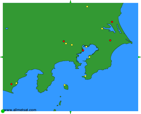
To change the map : click on the green buttons with a black cross to zoom in, on the green button with a dash to zoom out, or on the green arrows for adjacent maps.