METAR-TAF
Airports :
Juanda International Airport
Gerbangkertosusila, Indonesia
latitude: 07-22-47S, longitude: 112-47-13E, elevation: 3 m
Current weather observation
The report was made 19 minutes ago, at 23:30 UTC
Wind 4 kt from the West/Southwest
Temperature 25°C
Humidity 100%
Pressure 1011 hPa
Visibility: 4000 m
Few clouds at a height of 2000 ft
haze,
METAR: WARR 012330Z 25004KT 4000 HZ FEW020 25/25 Q1011 NOSIG
Time: 06:49 (23:49 UTC)
Forecast
The report was made 49 minutes ago, at 23:00 UTC
Forecast valid from 02 at 00 UTC to 03 at 00 UTC
Wind 10 kt from the East/Southeast
Visibility 10 km or more
Few clouds at a height of 2000 ft
Becoming
from 02 at 18 UTC to 02 at 20 UTC
from 02 at 18 UTC to 02 at 20 UTC
Visibility: 4000 m
haze,
TAF: WARR 012300Z 0200/0300 11010KT 9999 FEW020 BECMG 0218/0220 4000 HZ
Weather observations and forecasts of more than 4000 airports (METAR and TAF reports).
The available stations are represented by yellow and red dots on the map.
Hover mouse over dot to see the name of the station.
Then click to see weather observations and forecasts.
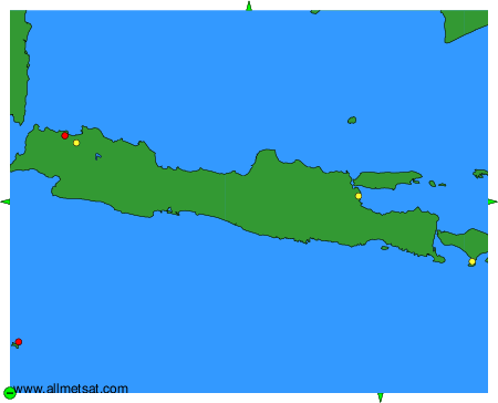
To change the map : click on the green buttons with a black cross to zoom in, on the green button with a dash to zoom out, or on the green arrows for adjacent maps.