METAR-TAF
Airports :
Christmas Island Airport
Christmas Island, Australia
latitude: 10-26S, longitude: 105-41E, elevation: 279 m
Current weather observation
METAR: YPXM 012000Z AUTO 12009KT 9999 // OVC012 25/23 Q1012
Time: 03:28 (20:28 UTC)
Forecast
from 02 at 00 UTC to 02 at 02 UTC
from 01 at 18 UTC to 02 at 18 UTC
Scattered clouds at a height of 2000 ft, Towering cumulus.
from 01 at 18 UTC to 02 at 18 UTC
Scattered clouds at a height of 2000 ft, Cumulonimbus.
TAF: YPXM 011819Z 0118/0218 12010KT 9999 -SHRA BKN006 BECMG 0200/0202 11010KT 9999 -SHRA BKN010 FM020900 11010KT 9999 -SHRA BKN007 TEMPO 0118/0218 2000 SHRA BKN002 SCT020TCU PROB30 TEMPO 0118/0218 09015G25KT 0800 +TSRA OVC001 SCT020CB
Weather observations and forecasts of more than 4000 airports (METAR and TAF reports).
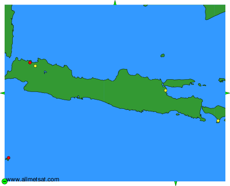
The available stations are represented by yellow and red dots on the map.
Hover mouse over dot to see the name of the station.
Then click to see weather observations and forecasts.
To change the map : click on the green buttons with a black cross to zoom in, on the green button with a dash to zoom out, or on the green arrows for adjacent maps.