METAR-TAF
Airports :
Yekaterinburg
Aktau
Aktobe
Almaty
Andijan
Ardabil
Ashgabat
Astana
Astrakhan
Atyrau
Baku
Balkhash
Barnaul
Bishkek
Bojnourd
Bukhara
Chelyabinsk
Daşoguz
Dushanbe
Fergana
Gorgan
Kalaleh
Karachi
Karaganda
Karaj
Kashgar
Kashmar
Kazan
Kemerovo
Khanty-Mansiysk
Khujand
Kokshetau
Kostanay
Kulob
Kyzylorda
Lankaran
Magnitogorsk
Mary
Mashhad
Mazar-i-Sharif
Namangan
Navoiy
Nizhnekamsk
Nizhnevartovsk
Noshahr
Novosibirsk
Nukus
Omsk
Oral
Orenburg
Orsk
Osh
Oskemen
Pavlodar
Perm
Petropavl
Qazvin
Qurghonteppa
Ramsar
Rasht
Sabzevar
Samara
Samarkand
Sarakhs
Sari
Semey
Semnan
Shymkent
Surgut
Syktyvkar
Tamchy
Taraz
Tashkent
Tehran
Tehran
Termez
Tomsk
Türkmenabat
Türkmenbaşy
Tyumen
Ufa
Ulyanovsk
Urgench
Ürümqi
Yekaterinburg
Zanjan
Kazakhstan, Turkmenistan, Uzbekistan, Tajikistan, Kyrgyzstan
Afghanistan
Armenia
Asia
Azerbaijan
Central Siberia
China
Georgia
Iran
Mongolia
Pakistan
Russia
Western Siberia
Koltsovo Airport Yekaterinburg, Russia
latitude: 56-50N, longitude: 060-38E, elevation: 237 m
Current weather observation The report was made 18 minutes ago, at 00:30 UTC
Calm wind
Temperature 4 °C
Humidity 93 %
Pressure 1035 hPa
Visibility: 0200 m
Scattered clouds at a height of 300 ft
fog
METAR: USSS 280030Z 00000MPS 0750 0200E R26L/0700U FG SCT003 04/03 Q1035 R26L/CLRD60 TEMPO 0300 FG VV002 RMK R26L/QFE755/1007
Time: 05:48 (00:48 UTC) Forecast The report was made 1 hour and 42 minutes ago, at 23:06 UTC
Forecast valid from 28 at 00 UTC to 28 at 24 UTC
Wind 6 kt from the South
Visibility: 6000 m
Scattered clouds at a height of 2000 ft
Temporary
Visibility: 0300 m
fog
From 28 at 0500 UTC
Wind 6 kt from the South/Southeast with gusts up to 19 kt
Visibility 10 km or more
no clouds below 1500 m and no cumulonimbus
From 28 at 1700 UTC
Wind 6 kt from the Southeast
Visibility: 6000 m
Scattered clouds at a height of 2000 ft
TAF: USSS 272306Z 2800/2824 18003MPS 6000 SCT020 TEMPO 2800/2804 0300 FG FM280500 15003G10MPS CAVOK FM281700 13003MPS 6000 SCT020
Weather observations and forecasts of more than 4000 airports (METAR and TAF reports).
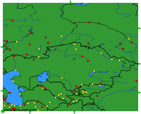
The available stations are represented by yellow and red dots on the map.
Hover mouse over dot to see the name of the station.
Then click to see weather observations and forecasts.
To change the map : click on the green buttons with a black cross to zoom in, on the green button with a dash to zoom out, or on the green arrows for adjacent maps.