METAR-TAF
Airports :
Jomo Kenyatta International Airport
Nairobi, Kenya
latitude: 01-19S, longitude: 036-55E, elevation: 1624 m
Current weather observation
The report was made 1 hour and 12 minutes ago, at 12:30 UTC
Wind 5 kt from the East/Northeast
Temperature 20°C
Humidity 60%
Pressure 1021 hPa
Visibility 10 km or more
Broken clouds at a height of 2000 ft
Broken clouds at a height of 8000 ft
Broken clouds at a height of 8000 ft
METAR: HKJK 271230Z 07005KT 9999 BKN020 BKN080 20/12 Q1021 NOSIG
Time: 16:42 (13:42 UTC)
Forecast
The report was made 2 hours and 42 minutes ago, at 11:00 UTC
Forecast valid from 27 at 12 UTC to 28 at 18 UTC
Wind 10 kt from the East
Visibility 10 km or more
Broken clouds at a height of 2000 ft
Broken clouds at a height of 8000 ft
Broken clouds at a height of 8000 ft
Becoming
from 27 at 20 UTC to 27 at 23 UTC
from 27 at 20 UTC to 27 at 23 UTC
Wind 5 kt from the Northeast
Broken clouds at a height of 1800 ft
Broken clouds at a height of 8000 ft
Broken clouds at a height of 8000 ft
Becoming
from 28 at 02 UTC to 28 at 05 UTC
from 28 at 02 UTC to 28 at 05 UTC
Wind 5 kt from the South/Southeast
Broken clouds at a height of 1800 ft
Broken clouds at a height of 8000 ft
Broken clouds at a height of 8000 ft
Becoming
from 28 at 08 UTC to 28 at 11 UTC
from 28 at 08 UTC to 28 at 11 UTC
Broken clouds at a height of 2200 ft
Broken clouds at a height of 8000 ft
Broken clouds at a height of 8000 ft
TAF: HKJK 271100Z 2712/2818 09010KT 9999 BKN020 BKN080 BECMG 2720/2723 04005KT BKN018 BKN080 BECMG 2802/2805 15005KT BKN018 BKN080 BECMG 2808/2811 BKN022 BKN080
Weather observations and forecasts of more than 4000 airports (METAR and TAF reports).
The available stations are represented by yellow and red dots on the map.
Hover mouse over dot to see the name of the station.
Then click to see weather observations and forecasts.
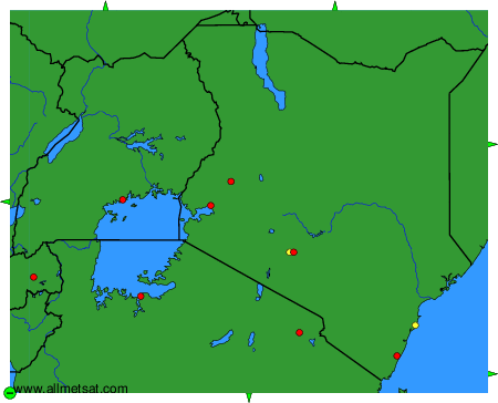
To change the map : click on the green buttons with a black cross to zoom in, on the green button with a dash to zoom out, or on the green arrows for adjacent maps.