METAR-TAF
Airports :
Kisumu International Airport
Kisumu, Kenya
latitude: 00-06S, longitude: 034-45E, elevation: 3795 ft
Current weather observation
Scattered clouds at a height of 2900 ft
METAR: HKKI 281130Z 22010KT 9999 FEW028CB SCT029 30/16 Q1015
Time: 14:55 (11:55 UTC)
Forecast
from 28 at 14 UTC to 28 at 17 UTC
Broken clouds at a height of 8000 ft
between 22 and 82 UTC
from 29 at 08 UTC to 29 at 11 UTC
Scattered clouds at a height of 8000 ft
from 29 at 13 UTC to 29 at 17 UTC
Scattered clouds at a height of 8000 ft
TAF: HKKI 281100Z 2812/2918 23010KT 9999 SCT027 TEMPO 2814/2817 -TSRA FEW022CB BKN080 BECMG 22820/2903 03005KT CAVOK NSW BECMG 2908/2911 22010KT 9999 FEW027 SCT080 TEMPO 2913/2917 -TSRA FEW022CB SCT080
Weather observations and forecasts of more than 4000 airports (METAR and TAF reports).
The available stations are represented by yellow and red dots on the map.
Hover mouse over dot to see the name of the station.
Then click to see weather observations and forecasts.
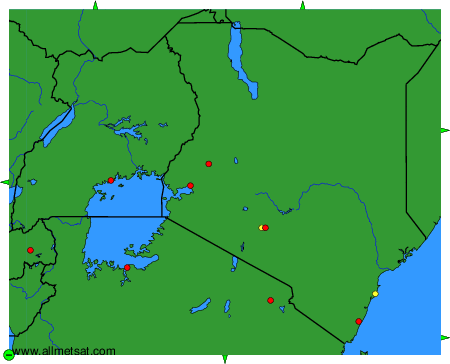
To change the map : click on the green buttons with a black cross to zoom in, on the green button with a dash to zoom out, or on the green arrows for adjacent maps.