METAR-TAF
Airports :
Kigali International Airport
Kigali, Rwanda
latitude: 01-58S, longitude: 030-07E, elevation: 1491 m
Current weather observation
The report was made 11 minutes ago, at 00:00 UTC
Wind 4 kt from the North/Northwest
Temperature 22°C
Humidity 53%
Pressure 1019 hPa
Visibility 10 km or more
Few clouds at a height of 2400 ft
METAR: HRYR 280000Z 34004KT 9999 FEW024 22/12 Q1019 NOSIG
Time: 02:11 (00:11 UTC)
Forecast
The report was made 1 hour and 11 minutes ago, at 23:00 UTC
Forecast valid from 28 at 00 UTC to 29 at 06 UTC
Wind 5 kt from the North/Northwest
Visibility 10 km or more
Few clouds at a height of 2300 ft
Becoming
from 28 at 07 UTC to 28 at 09 UTC
from 28 at 07 UTC to 28 at 09 UTC
Wind 15 kt from the East/Southeast
Becoming
from 28 at 15 UTC to 28 at 17 UTC
from 28 at 15 UTC to 28 at 17 UTC
Wind 6 kt from the West
TAF: HRYR 272300Z 2800/2906 34005KT 9999 FEW023 BECMG 2807/2809 12015KT BECMG 2815/2817 26006KT
Weather observations and forecasts of more than 4000 airports (METAR and TAF reports).
The available stations are represented by yellow and red dots on the map.
Hover mouse over dot to see the name of the station.
Then click to see weather observations and forecasts.
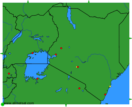
To change the map : click on the green buttons with a black cross to zoom in, on the green button with a dash to zoom out, or on the green arrows for adjacent maps.