METAR-TAF
Airports :
Bukoba Airport
Bukoba, Tanzania
latitude: 01-20S, longitude: 031-49E, elevation: 1137 m
Current weather observation
The report was made 56 minutes ago, at 06:00 UTC
Calm wind
Temperature 24°C
Humidity 65%
Pressure 1018 hPa
Visibility 10 km or more
Few clouds at a height of 1800 ft
METAR: HTBU 010600Z 00000KT 9999 FEW018 24/17 Q1018 NOSIG
Time: 09:56 (06:56 UTC)
Forecast
The report was made 1 hour and 56 minutes ago, at 05:00 UTC
Forecast valid from 01 at 06 UTC to 02 at 06 UTC
Wind 5 kt from the East/Southeast
Visibility 10 km or more
Few clouds at a height of 1800 ft
Few clouds at a height of 2000 ft, Cumulonimbus.
Few clouds at a height of 2000 ft, Cumulonimbus.
Becoming
from 02 at 00 UTC to 02 at 03 UTC
from 02 at 00 UTC to 02 at 03 UTC
TAF: HTBU 010500Z 0106/0206 12005KT 9999 FEW018 FEW020CB BECMG 0200/0203 27010
Weather observations and forecasts of more than 4000 airports (METAR and TAF reports).
The available stations are represented by yellow and red dots on the map.
Hover mouse over dot to see the name of the station.
Then click to see weather observations and forecasts.
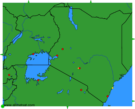
To change the map : click on the green buttons with a black cross to zoom in, on the green button with a dash to zoom out, or on the green arrows for adjacent maps.