METAR-TAF
Airports :
Mwanza Airport
Mwanza, Tanzania
latitude: 02-28S, longitude: 032-55E, elevation: 1139 m
Current weather observation
The report was made 49 minutes ago, at 08:00 UTC
Wind 8 kt from the South/Southeast, varying between East/Southeast and South
Temperature 26°C
Humidity 48%
Pressure 1020 hPa
Visibility 10 km or more
Few clouds at a height of 2500 ft
Few clouds at a height of 2600 ft, Cumulonimbus.
Scattered clouds at a height of 9000 ft
Few clouds at a height of 2600 ft, Cumulonimbus.
Scattered clouds at a height of 9000 ft
METAR: HTMW 050800Z 16008KT 120V190 9999 FEW025 FEW026CB SCT090 26/14 Q1020 NOSIG
Time: 11:49 (08:49 UTC)
Forecast
The report was made 3 hours and 49 minutes ago, at 05:00 UTC
Forecast valid from 05 at 06 UTC to 06 at 06 UTC
Wind 10 kt from the East/Southeast
Visibility 10 km or more
Few clouds at a height of 2400 ft
Few clouds at a height of 2500 ft, Cumulonimbus.
Few clouds at a height of 2500 ft, Cumulonimbus.
Becoming
from 05 at 11 UTC to 05 at 13 UTC
from 05 at 11 UTC to 05 at 13 UTC
Wind 10 kt from the North/Northwest
TAF: HTMW 050500Z 0506/0606 12010KT 9999 FEW024 FEW025CB BECMG 0511/0513 33010KT
Weather observations and forecasts of more than 4000 airports (METAR and TAF reports).
The available stations are represented by yellow and red dots on the map.
Hover mouse over dot to see the name of the station.
Then click to see weather observations and forecasts.
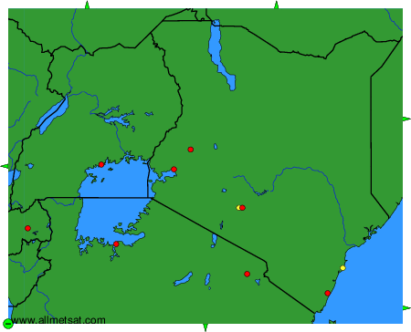
To change the map : click on the green buttons with a black cross to zoom in, on the green button with a dash to zoom out, or on the green arrows for adjacent maps.