METAR-TAF
Airports :
Jinja Airport
Jinja, Uganda
latitude: 00-27N, longitude: 033-11E, elevation: 1175 m
METAR: missing
Time: 06:05 (03:05 UTC)
Forecast
The report was made 16 hours and 5 minutes ago, at 11:00 UTC
Forecast valid from 30 at 12 UTC to 31 at 12 UTC
Wind 4 kt from the South
Visibility 10 km or more
Few clouds at a height of 2400 ft
Few clouds at a height of 2600 ft, Cumulonimbus.
Few clouds at a height of 2600 ft, Cumulonimbus.
Becoming
from 31 at 07 UTC to 31 at 10 UTC
from 31 at 07 UTC to 31 at 10 UTC
Wind 4 kt from the Southeast
Visibility: 9000 m
Scattered clouds at a height of 2000 ft
Few clouds at a height of 2200 ft, Cumulonimbus.
Few clouds at a height of 2200 ft, Cumulonimbus.
light rain
TAF: HUJI 301100Z 3012/3112 18004KT 9999 FEW024 FEW026CB BECMG 3107/3110 14004KT 9000 -RA SCT020 FEW022CB
Weather observations and forecasts of more than 4000 airports (METAR and TAF reports).
The available stations are represented by yellow and red dots on the map.
Hover mouse over dot to see the name of the station.
Then click to see weather observations and forecasts.
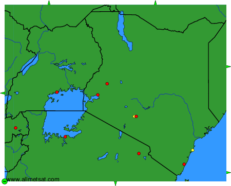
To change the map : click on the green buttons with a black cross to zoom in, on the green button with a dash to zoom out, or on the green arrows for adjacent maps.