METAR-TAF
Airports :
Batman Airport
Batman, Turkey
latitude: 37-52N, longitude: 041-10E, elevation: 540 m
Current weather observation
The report was made 27 minutes ago, at 09:20 UTC
Wind 4 kt from variable directions
Temperature 38°C
Humidity 14%
Pressure 1003 hPa
Visibility 10 km or more
no clouds below 1500 m and no cumulonimbus
METAR: LTCJ 030920Z VRB04KT CAVOK 38/06 Q1003 NOSIG RMK RWY20 05005KT 330V090 SKC
Time: 12:47 (09:47 UTC)
Forecast
The report was made 5 hours and 7 minutes ago, at 04:40 UTC
Forecast valid from 03 at 06 UTC to 04 at 06 UTC
Wind 2 kt from variable directions
Visibility 10 km or more
no clouds below 1500 m and no cumulonimbus
Temporary
from 03 at 12 UTC to 03 at 16 UTC
from 03 at 12 UTC to 03 at 16 UTC
Wind 12 kt from the West/Southwest
TAF: LTCJ 030440Z 0306/0406 VRB02KT CAVOK TEMPO 0312/0316 25012KT
Weather observations and forecasts of more than 4000 airports (METAR and TAF reports).
The available stations are represented by yellow and red dots on the map.
Hover mouse over dot to see the name of the station.
Then click to see weather observations and forecasts.
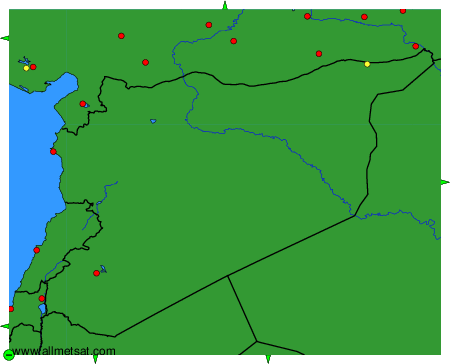
To change the map : click on the green buttons with a black cross to zoom in, on the green button with a dash to zoom out, or on the green arrows for adjacent maps.