METAR-TAF
Airports :
Aleppo International Airport
Aleppo, Syria
latitude: 36-11N, longitude: 037-12E, elevation: 1289 ft
Current weather observation
The report was made 9 minutes ago, at 19:00 UTC
Wind 14 mph from the West/Northwest
Temperature 88°F
Humidity 24%
Pressure 29.77 in. Hg
Visibility 6.2 miles or more
no clouds below 1500 m and no cumulonimbus
METAR: OSAP 011900Z 29012KT CAVOK 31/08 Q1008
Time: 22:09 (19:09 UTC)
Forecast
The report was made 3 hours and 9 minutes ago, at 16:00 UTC
Forecast valid from 01 at 18 UTC to 02 at 18 UTC
Wind 81 mph from the Northwest
Visibility 6.2 miles or more
no clouds below 1500 m and no cumulonimbus
Temporary
from 01 at 18 UTC to 01 at 22 UTC
from 01 at 18 UTC to 01 at 22 UTC
Wind 17 mph from the West
TAF: OSAP 011600Z 0118/0218 31270KT CAVOK TEMPO 0118/0122 27015KT
Weather observations and forecasts of more than 4000 airports (METAR and TAF reports).
The available stations are represented by yellow and red dots on the map.
Hover mouse over dot to see the name of the station.
Then click to see weather observations and forecasts.
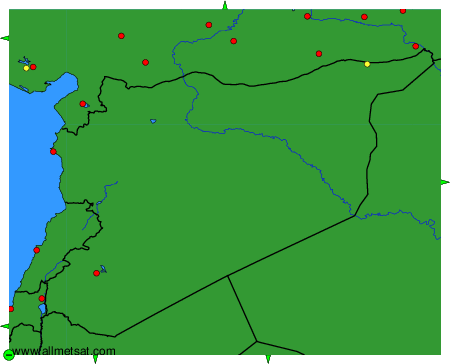
To change the map : click on the green buttons with a black cross to zoom in, on the green button with a dash to zoom out, or on the green arrows for adjacent maps.