METAR-TAF
Airports :
Kufra Airport
Kufra, Libya
latitude: 24-13N, longitude: 023-18E, elevation: 417 m
METAR: missing
Time: 13:14 (11:14 UTC)
Forecast
The report was made 3 hours and 14 minutes ago, at 08:00 UTC
Forecast valid from 20 at 09 UTC to 20 at 18 UTC
Wind 15 kt from the North with gusts up to 25 kt
Visibility: 1500 m
Blowing sand
Temporary
from 20 at 09 UTC to 20 at 12 UTC
from 20 at 09 UTC to 20 at 12 UTC
Visibility: 0900 m
sandstorm,
TAF: HLKF 200800Z 2009/2018 36015G25KT 1500 BLSA PRPB30 TEMPO 2009/2012 0900 SS
Weather observations and forecasts of more than 4000 airports (METAR and TAF reports).
The available stations are represented by yellow and red dots on the map.
Hover mouse over dot to see the name of the station.
Then click to see weather observations and forecasts.
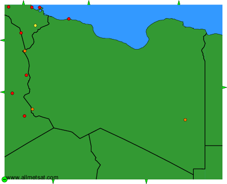
To change the map : click on the green buttons with a black cross to zoom in, on the green button with a dash to zoom out, or on the green arrows for adjacent maps.